Networks
Each network has a different orbit, a different footprint and a different sweet spot. Independent of any single operator, we pick the right one for the job you're actually doing.
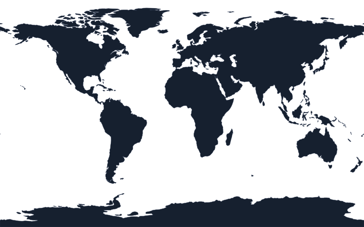
The only network with verified coverage at both poles. A 66-satellite low-earth-orbit mesh that talks to itself — so a call routes through the constellation, not a single ground station. If you might be anywhere on Earth, this is the safe default.
A fleet of geostationary satellites parked over the equator. From the ground each one looks fixed in the sky, which gives big, stable spot-beams suited to higher-bandwidth voice and data. Coverage extends to about 76° north and south — everywhere except the poles.
Geostationary coverage (Thuraya-4) across Europe, Africa, the Middle East and Central Asia. Thuraya specialises in light, pocketable handsets with GSM roaming fallback built in, at friendly hardware and airtime prices.
A 24-satellite low-earth-orbit constellation with a bent-pipe architecture — calls hop straight back to the nearest ground station. Inside the covered regions that gives clear voice and well-priced airtime; outside them there is no service at all, so check the footprint first.
Start with where you're going.
The right network is a function of route, latitude and what you need to send. Coverage first, bandwidth second, budget third — in that order.
Tell us the trip. We'll tell you the network — honestly.
We will discuss the best equipment and network for your scenario and provide a bespoke quote for your needs — no pressure, no sales calls.